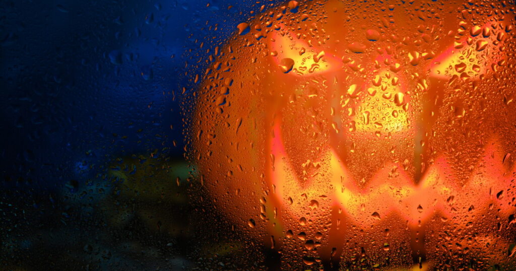
Halloween in Phoenix this year may come with more than just costumes and candy — forecasters say trick-or-treaters could be reaching for rain gear too. A stretch of unsettled weather driven by strong El Niño conditions in the Pacific is taking aim at Arizona, and the timing couldn’t be more notable for a desert city that rarely sees October rain.
The National Weather Service says multiple storm systems are lining up to push moisture across Arizona and Southern California beginning Friday. Meteorologist Gabriel Lojero described what residents should expect heading into the weekend:
“There’s a potential for multiple days of rain across the area, so it looks like it’s going to be an unsettled weekend.”
Phoenix last recorded measurable rainfall on Halloween all the way back in 1987, according to National Weather Service data — making this year’s forecast a rare and potentially historic weather event for the region.
That said, wet trick-or-treating is not guaranteed. Forecasters say the highest chances of rain are expected on Friday and Sunday, with a possible break in precipitation on Saturday — Halloween itself. Still, conditions remain uncertain, and the forecast could shift.
What the Forecast Shows Day by Day
Tuesday and Wednesday are expected to be sunny and warm, with highs near 86°F and light winds. Conditions begin to change Thursday, with partly sunny skies giving way to a 50% chance of showers late Thursday night, mainly after 11 p.m. Temperatures will drop to around 67°F overnight, with possible precipitation of up to a quarter of an inch.
Friday carries the heaviest storm risk of the week — an 80% chance of showers and possible thunderstorms, with a high near 77°F and rainfall totals between a quarter and half an inch expected.
Saturday, Halloween, holds a 30% chance of daytime showers and a 50% chance again Saturday night, with partly sunny skies possible and a high near 77°F. Sunday rounds out the stormy stretch with a 70% chance of showers and possible thunderstorms, a high near 71°F, and potential rainfall of up to three-quarters of an inch.
Forecasters caution it is still too early to predict exact rainfall totals for the Valley as a whole, but pockets of thunderstorms and heavier rain remain possible through the weekend.
A Broader Pattern of Extreme Weather Across Arizona
This latest storm system arrives as Arizona has already been dealing with a series of significant weather events this month. A super El Niño charged by climate change has been linked to recent extreme weather across the state, according to science reporters covering the region.
In the Four Corners area, flooding has continued after days of rain, triggering evacuations and water rescues. Earlier in the week, rescues and evacuations gripped the Four Corners region as flash floods hit communities on the Navajo Nation and in New Mexico.
Closer to the Mogollon Rim, the community of Heber-Overgaard sustained heavy damage after the National Weather Service confirmed the area was struck by a tornado.
On the political front, Arizona State Rep. Walt Blackman has urged Governor Katie Hobbs to declare a state of emergency for parts of the state affected by severe weather and flash flooding, according to political coverage of the ongoing situation.
Residents across the Phoenix metro area are encouraged to monitor the latest updates from the National Weather Service and prepare for the possibility of rain throughout the Halloween weekend.