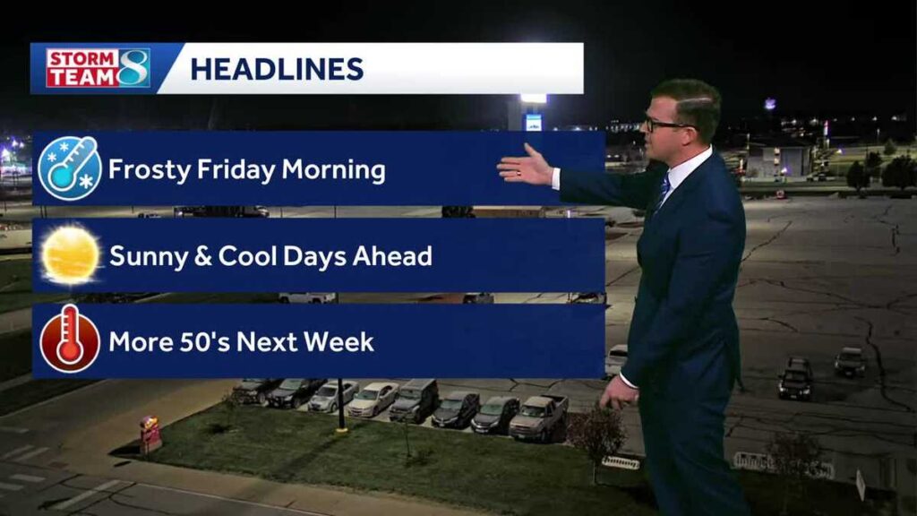
A cold snap has settled over Iowa, bringing frosty mornings and brisk afternoons that residents will want to plan around this week. Here’s what to expect from now through the weekend and into next week.
Today will offer plenty of sunshine, but don’t let the clear skies fool you — temperatures will only manage to climb into the upper 30s to low 40s, with northerly winds of around 10 mph adding an extra bite to the air. When you factor in wind chill, feel-like temperatures will remain stuck in the 30s throughout the afternoon.
Iowans can stay informed in real time by checking the Interactive Radar, reviewing any active Weather Alerts, and monitoring live conditions through the Skycams network, which pulls aerial views from more than 25 locations across the state.
Cold Nights Ahead
Once the sun goes down tonight, temperatures will fall sharply. Skies will stay mostly clear, and lows are expected to drop into the mid-to-low 20s — a significant overnight chill. Winds will ease off, becoming light and variable, but the cold air will linger.
Weekend and Week Ahead
The weekend pattern holds steady with calm, clear conditions. Overnight lows will remain in the 20s both Saturday and Sunday, while afternoon highs push into the mid-40s. It’s a good stretch of dry, quiet weather, though layers will still be necessary.
Relief from the cold arrives next week, with afternoon temperatures climbing back into the 50s. Wednesday stands out as a windier day, though conditions are expected to stay dry. The end of next week, however, could bring a return of wet weather as a new system approaches.
Your Daily Forecast at a Glance
Today: Mostly sunny. High 42°F. Winds N around 10 mph.
Tonight: Mostly clear and colder. Low 23°F. Winds light and variable.
Tomorrow: Sunny skies. High 45°F. Winds calm, then S around 5 mph.
Tomorrow Night: Mostly clear skies. Low near 25°F. Winds SSE at 5 to 10 mph.